|
–Geoff-Hart.com:–Editing, Writing, and Translation —Home —Services —Books —Articles —Resources —Fiction —Contact me —Français |
You are here: Home (fiction) --> Channel Islands --> May 20: Guernsey Island
Vous êtes ici : Accueil (fiction) --> Channel Islands --> May 20: Guernsey Island
Breakfast today was an omelette with tomato, cheese, and a large dollop of Guernsey cream. Delicious and filling, though it would have been nice to have more veg (e.g., broccoli, onion, bell pepper). Shoshanna opted for the lox and avocado breakfast again, and reports that it's so good she feels no temptation to stray.
After a day off from hard-core hiking yesterday, we decided to return to the trails. Previously, we hiked the southwestern coast of Guernsey. That part of the coast is notorious for its high cliffs and many descents and ascents, and is broadly considered one of the more difficult hiking trails. This infamous coast had an MMM-shaped profile in side view, which I described previously. We decided to try a different stretch of the south coast that also had cliffs and sea stacks. Sadly, it was also rated a "hard" hike.
It wasn't as difficult as the southwestern coast, but possibly only because we'd already done the latter coast and had already broken in all body parts that were not already up to speed. In hindsight based on the two hikes, there was clearly a clearance sale for steep slopes some years back, and Guernsey bought the whole stock. We did a lot of climbing and descending stairs. Oh, my knees!
We started out in southwestern St. Martin's parish, at the [Morrison's? Coop?] grocery store, then spent 5 hours circumavigating the entire Jerbourg Peninsula, eventually ending up just down the road from where we started. The GPS software suggested we probably hiked about 11 km, but also suggested an average speed of 3 km/h, which would be 15 km. Who knows? Surprisingly, despite the short distance between the southwestern and southeastern hikes, the landscapes were quite different. I think of the former as more open and rocky, whereas the latter was more heavily forested.
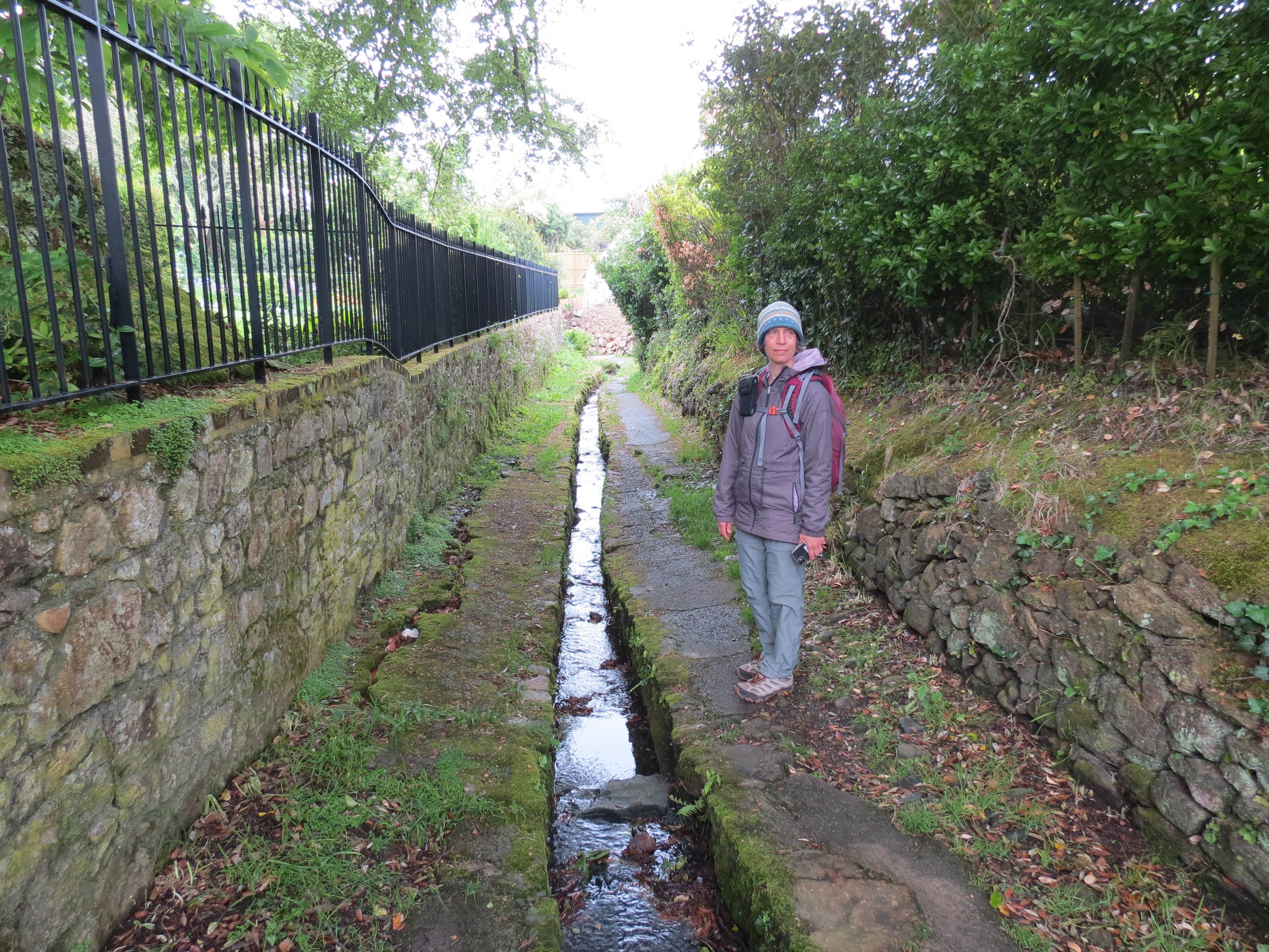
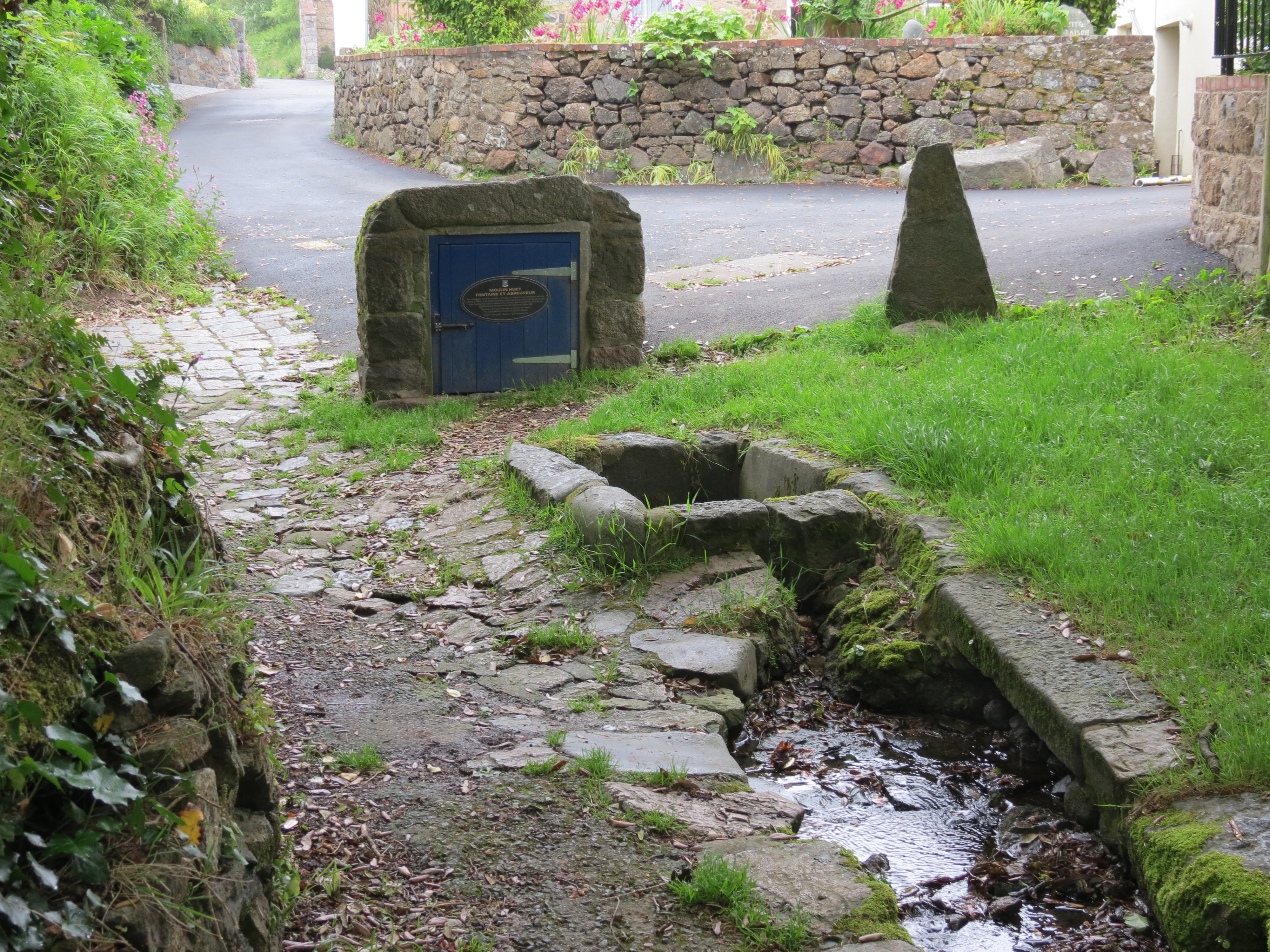
Early weather was damp and cloudy, with significant mist out to sea, but the forecast rain held off. We started out doing a loop around the western end of the Jerbourg peninsula adjacent to Moulin Huet Bay. We started out walking through a residential area, then hiked downhill in a valley under a thick forest canopy. There'd been some rain overnight, and it funneled into a stone-lined trough that ran along the trail and into a water collection system with a fountain and a trough for watering the livestock. Probably a relic rather than an actively used system, since we saw no farms nearby. The trails were nice and dry, which is important because descending steep unpaved trails covered by slick mud is a recipe for disaster.
Water harvesting:
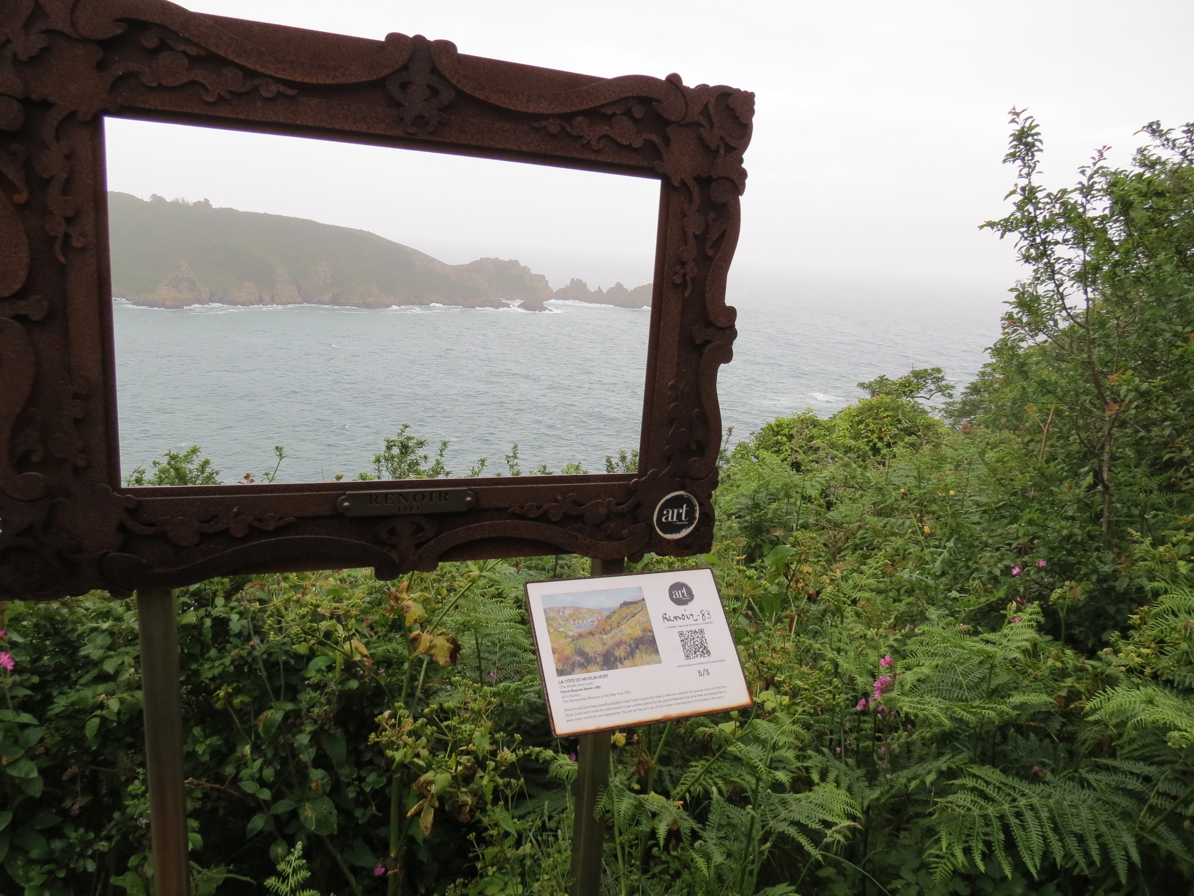
When we climbed out of the valley and bent our path westwards, we found ourselves sharing the path for a while with half a dozen or so teachers herding a troupe of 80 schoolkids who seemed to be about 8 years old. The kids were amusingly polite and well behaved. Interestingly, there's a Guernsey art project underway that's intended to showcase the real sites where August Renoir sat and painted parts of the island during his visit to Guernsey. For example (magnify the photo to see the details):
Our paths diverged when we cut downhill from the main path, zigzagging our way down a steep slope that ran into Moulin Huet Bay. The slope was covered with heath-type vegetation, with a large component of very spiky gorse that intruded on the path. (This was not the day to wear shorts; I have many scrapes. On the other hand, I got poked by thorns right through my jacket several times. So longer pants might not have helped.) At the bottom was yet another round tower, this one listed as "tower 14" on the walking map (one of 15 installed in the late 1700s to defend against the French), and a small café. Once again, I note the high degree of civilization of a country that has coffee and sandwich shops smack in the middle of long hikes. As a Canadian, I feel positively provincial.
Zigzags we followed down the slope:
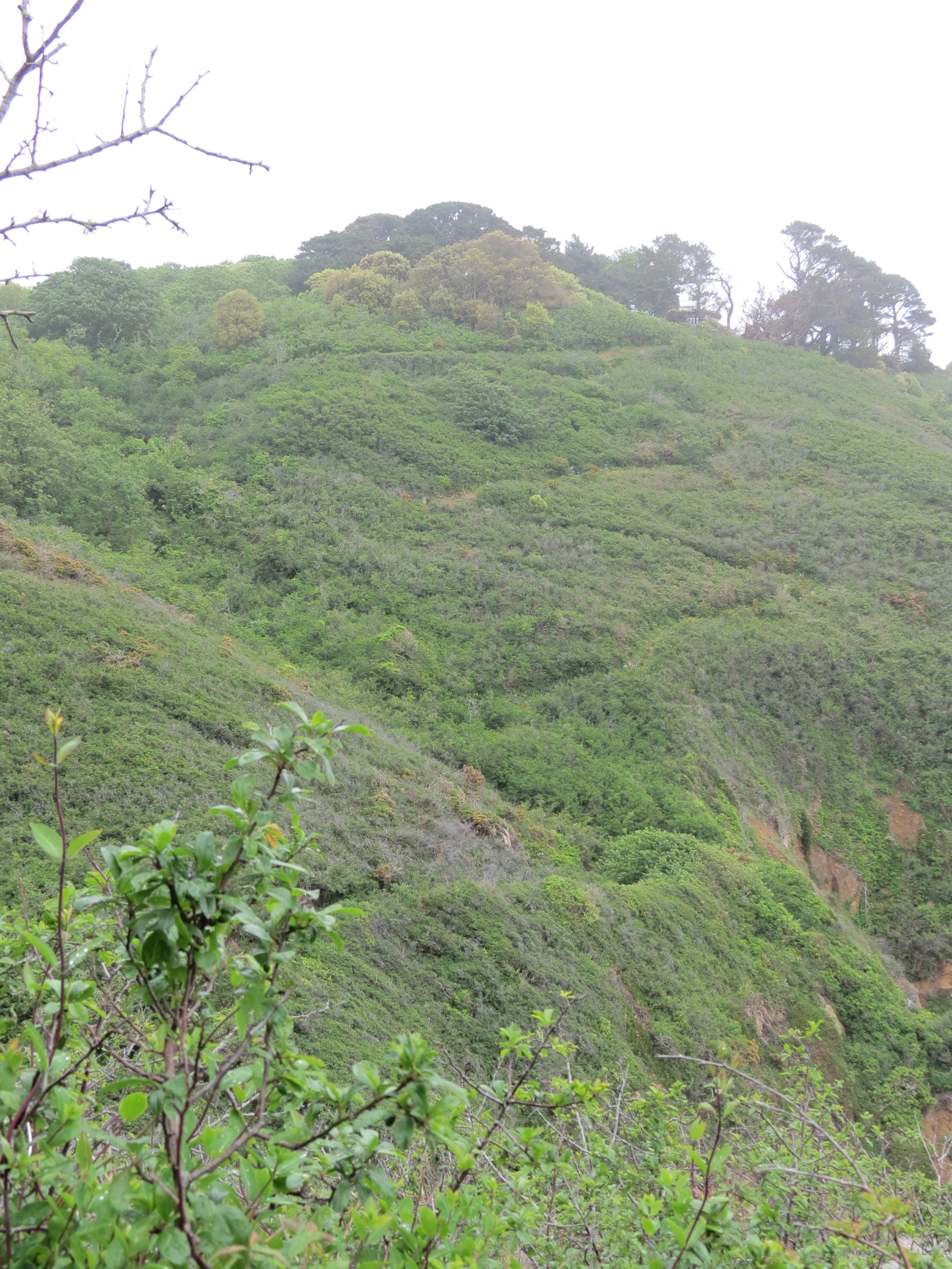
The problem with descending a slope is, of course, that you must then ascend the slope again, even if you take a different path out of the valley or up from the sea shore. Sadly, though the net energy of the physical system decreases slightly when you return to your starting location, the net energy remaining in the hiker is a limited resource and dwindles steadily as the cumulative uphill-and-downhill exertion sucks it away. But despite the cruel laws of thermodynamics, we made it back to the place where we'd started the western loop in about 2 hours.
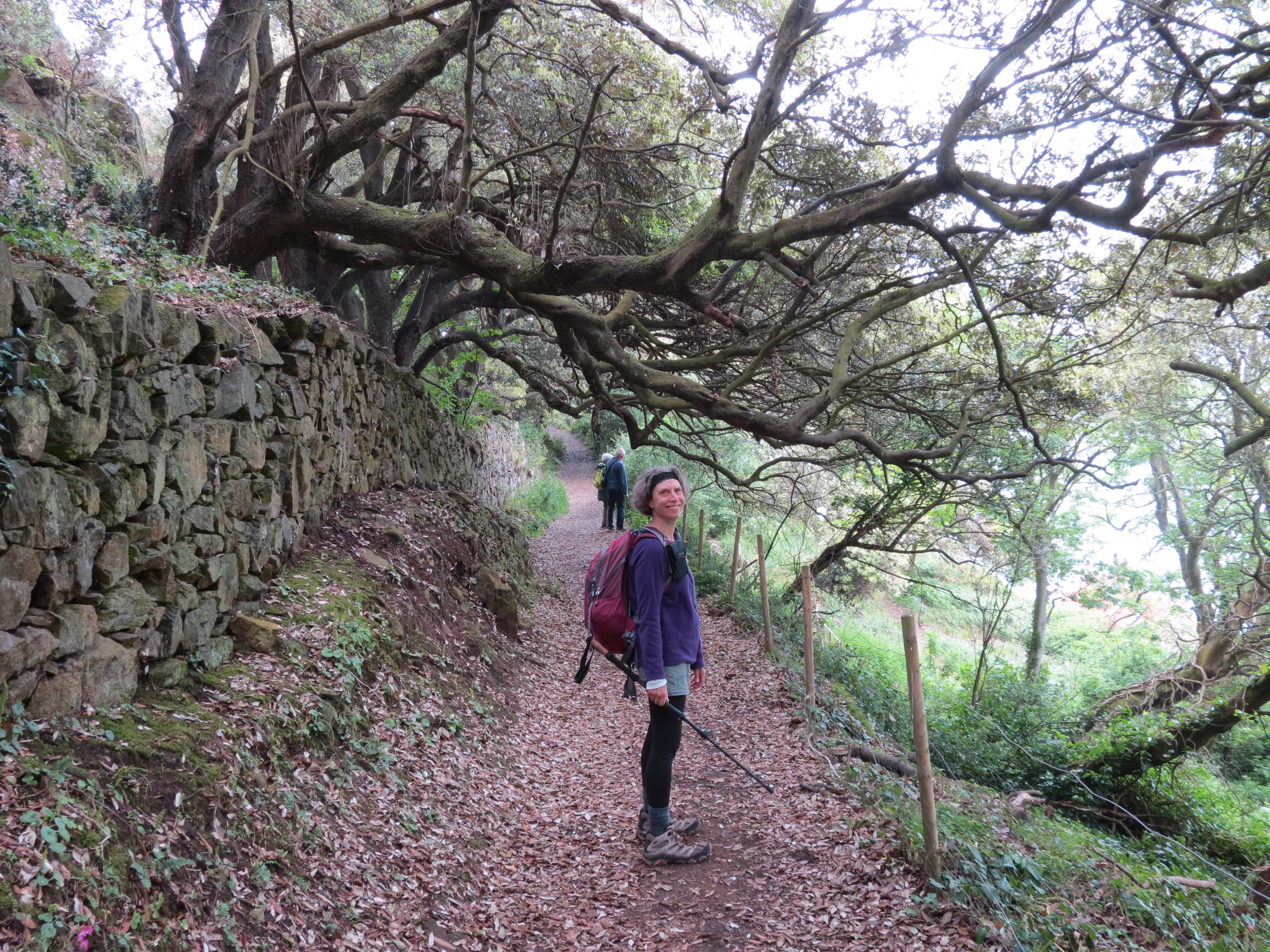
From there, we followed a path that curved around the eastern part of the peninsula, leading back to our starting point at the grocery store after 3 hours of continuous ascents and descents. But the morning mists had departed and the sun came out, so we progressively shed clothing as the day grew warmer. Unlike the more open land in the southwestern coast hike, the southeastern coast was largely covered by coastal forest, though with many gaps downslope for viewing beautiful stretches of coast. Shady and cool and nice protection from the sun when it began to grow warmer.
Shoshanna on one of the rare level stretches:
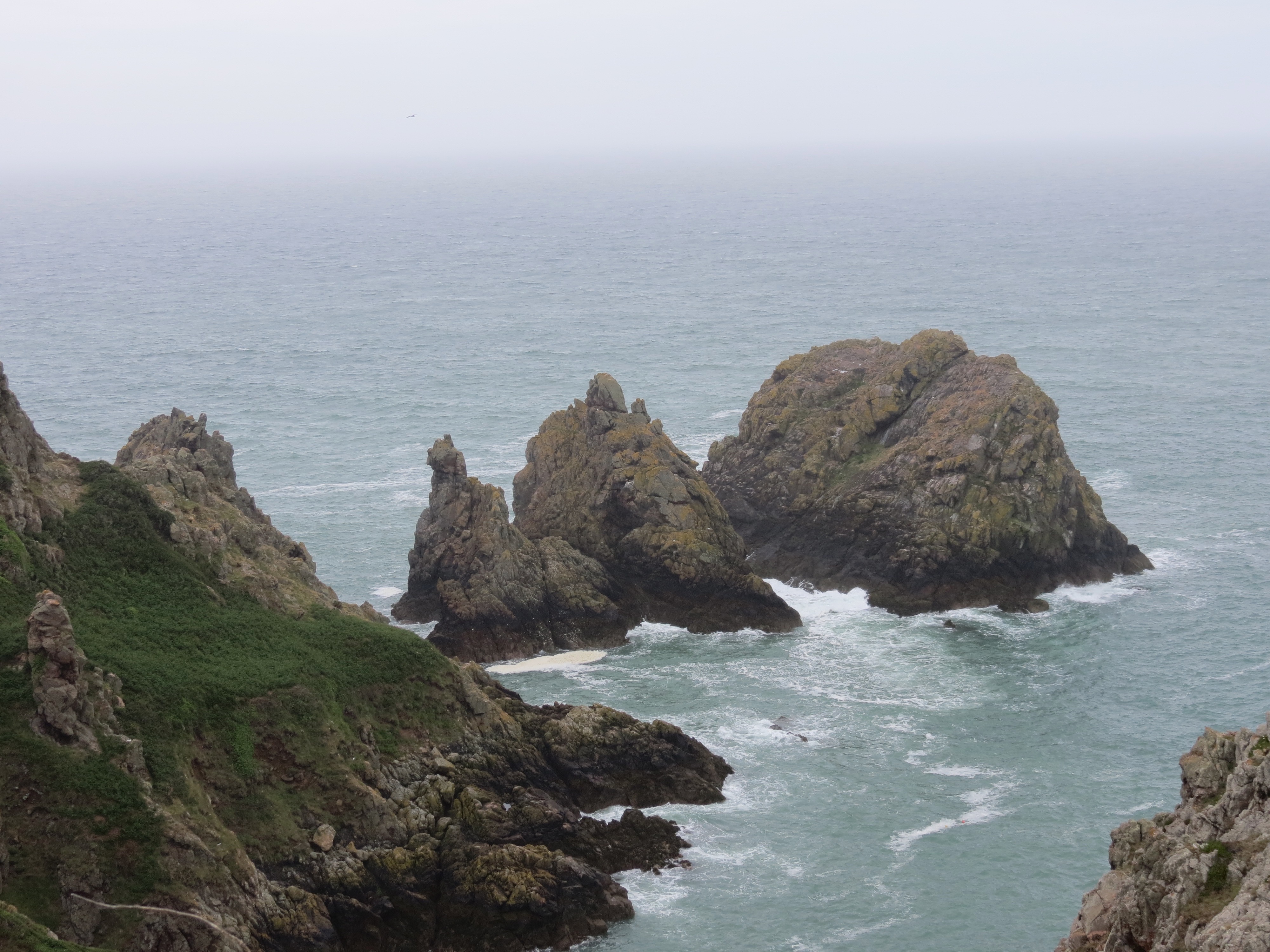
As the weather improved and the sea haze diminished, Herm Island gradually came into focus to the northeast. Sark remained coyly concealed in the distant haze to the east. We'll have to wait until Friday to get a good look at it.
The "pea stacks" (named after a type of gneiss rock):
Travel home was uneventful, as the St. Martin's grocery was the meeting place for 5 different bus lines. As a result, we only waited 10 minutes for our bus home. Other areas, such as the north, have less frequent buses and require more planning.
As soon as we got back to the B&B, we ran a hot bath and both climbed in, not without a certain measure of applied geometry, as the bath was only barely spacious enough for two. But we managed, and I have to say that if you're planning a hiking vacation, with or without partner, ensure that your accommodations include a bath to soak in. We're still going to be sore tomorrow, but less so than we'd be without a bath.
Dinner tonight will be at a restaurant our hosts recommended, The Farmhouse. We're going to walk, as there's not regular bus service and it's only 20 minutes away—most importantly, with smooth, flat pavement. Over dinner, we'll discuss our options for next day's activities. Details tomorrow!
©2004–2026 Geoffrey Hart. All rights reserved.